
The Botanic Garden at Oklahoma State University topographic map
Interactive map
Click on the map to display elevation.
About this map
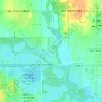
Name: The Botanic Garden at Oklahoma State University topographic map, elevation, terrain.
Average elevation: 902 ft
Minimum elevation: 866 ft
Maximum elevation: 974 ft
Other topographic maps
Click on a map to view its topography, its elevation and its terrain.
Stillwater
United States > Oklahoma > Payne County > Stillwater
Stillwater, Payne County, Oklahoma, 74077, United States
Average elevation: 968 ft