
Kinabatangan topographic map
Interactive map
Click on the map to display elevation.
About this map
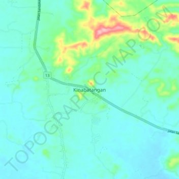
Name: Kinabatangan topographic map, elevation, terrain.
Location: Kinabatangan, Sandakan Division, Sabah, Malaysia (5.54899 117.80665 5.62899 117.88665)
Average elevation: 112 ft
Minimum elevation: 16 ft
Maximum elevation: 535 ft