
Luvua topographic map
Interactive map
Click on the map to display elevation.
About this map
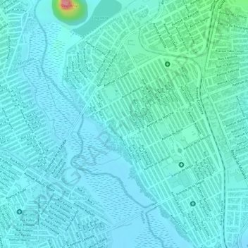
Name: Luvua topographic map, elevation, terrain.
Location: Luvua, Kenya, Kipushi, Ober-Katanga, DR Kongo (-11.70764 27.47140 -11.68951 27.48541)
Average elevation: 3,960 ft
Minimum elevation: 3,904 ft
Maximum elevation: 4,275 ft