
Cerisola topographic map
Interactive map
Click on the map to display elevation.
About this map
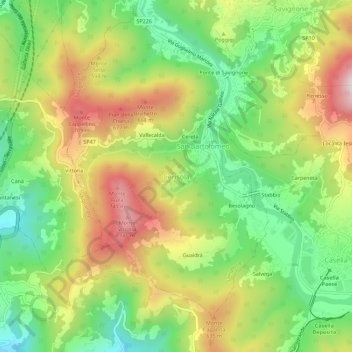
Name: Cerisola topographic map, elevation, terrain.
Location: Cerisola, Genua, Ligurien, 16015, Italien (44.52504 8.95133 44.56504 8.99133)
Average elevation: 1,601 ft
Minimum elevation: 856 ft
Maximum elevation: 2,556 ft