
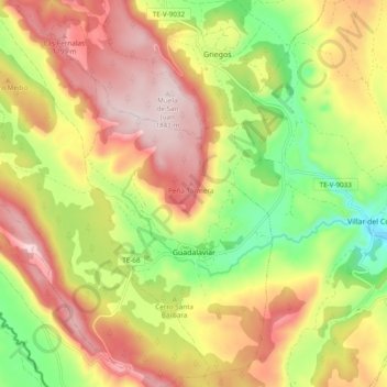
Guadalaviar topographic map
Interactive map
Click on the map to display elevation.
About this map
Name: Guadalaviar topographic map, elevation, terrain.
Location: Guadalaviar, Sierra de Albarracín, Teruel, Aragón, España (40.36372 -1.77315 40.43669 -1.69798)
Average elevation: 5,367 ft
Minimum elevation: 4,652 ft
Maximum elevation: 6,040 ft