
Baram River topographic map
Interactive map
Click on the map to display elevation.
About this map
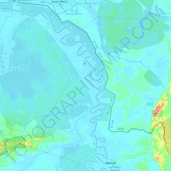
Name: Baram River topographic map, elevation, terrain.
Location: Baram River, Miri, Sarawak, Malaysia (4.15837 113.97505 4.58740 114.34327)
Average elevation: 69 ft
Minimum elevation: -7 ft
Maximum elevation: 1,332 ft
Other topographic maps
Click on a map to view its topography, its elevation and its terrain.
Miri Public Park (Taman Awam)
Miri Public Park (Taman Awam), Seaview, Brighton, Miri, Sarawak, Malaysia
Average elevation: 89 ft