
St. Johann bei Herberstein topographic map
Interactive map
Click on the map to display elevation.
About this map
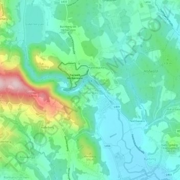
Name: St. Johann bei Herberstein topographic map, elevation, terrain.
Average elevation: 1,398 ft
Minimum elevation: 1,142 ft
Maximum elevation: 2,159 ft