
Pitakumbura topographic map
Interactive map
Click on the map to display elevation.
About this map
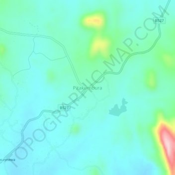
Name: Pitakumbura topographic map, elevation, terrain.
Location: Pitakumbura, Monaragala District, Uva Province, Sri Lanka (7.15792 81.27050 7.19792 81.31050)
Average elevation: 827 ft
Minimum elevation: 686 ft
Maximum elevation: 1,499 ft