
Kawardha topographic map
Interactive map
Click on the map to display elevation.
About this map
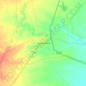
Name: Kawardha topographic map, elevation, terrain.
Average elevation: 1,148 ft
Minimum elevation: 1,066 ft
Maximum elevation: 1,247 ft
Kawardha is located at 22°01′N 81°15′E / 22.02°N 81.25°E / 22.02; 81.25. The total area is 798 square miles (2,070 km2). The state consists of hill and forest. It has an average elevation of 353 metres (1,158 ft).