
Montbrun topographic map
Interactive map
Click on the map to display elevation.
About this map
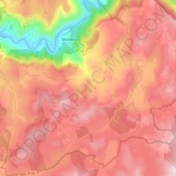
Name: Montbrun topographic map, elevation, terrain.
Average elevation: 2,992 ft
Minimum elevation: 1,572 ft
Maximum elevation: 3,730 ft
Other topographic maps
Click on a map to view its topography, its elevation and its terrain.
Sainte-Enimie
France > Occitanie > Lozère > Gorges du Tarn Causses > Sainte-Enimie
Sainte-Enimie, Gorges du Tarn Causses, Florac, Lozère, Occitanie, France métropolitaine, 48210, France
Average elevation: 2,949 ft