
Fronteira topographic map
Interactive map
Click on the map to display elevation.
About this map
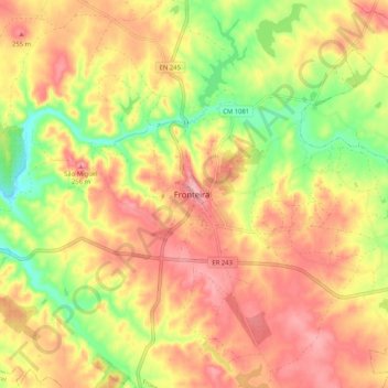
Name: Fronteira topographic map, elevation, terrain.
Location: Fronteira, Portalegre, 7460-139, Portugal (39.01581 -7.68787 39.09581 -7.60787)
Average elevation: 709 ft
Minimum elevation: 505 ft
Maximum elevation: 853 ft