
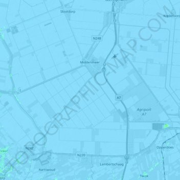
Middenmeer topographic map
Interactive map
Click on the map to display elevation.
About this map
Name: Middenmeer topographic map, elevation, terrain.
Location: Middenmeer, Hollands Kroon, Nordholland, Niederlande (52.75152 4.91044 52.83530 5.09963)
Average elevation: -10 ft
Minimum elevation: -26 ft
Maximum elevation: 16 ft