
Nyabira topographic map
Interactive map
Click on the map to display elevation.
About this map
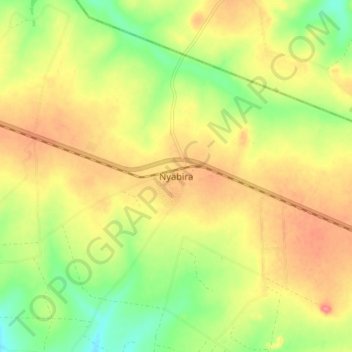
Name: Nyabira topographic map, elevation, terrain.
Location: Nyabira, Zvimba, Mashonaland West, Zimbabwe (-17.71729 30.76483 -17.63729 30.84483)
Average elevation: 4,688 ft
Minimum elevation: 4,560 ft
Maximum elevation: 4,803 ft