
El Barril topographic map
Interactive map
Click on the map to display elevation.
About this map
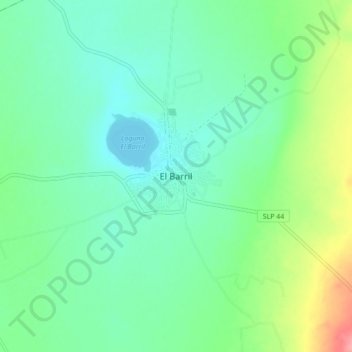
Name: El Barril topographic map, elevation, terrain.
Location: El Barril, Villa de Ramos, San Luis Potosí, México (23.03453 -102.19270 23.11453 -102.11270)
Average elevation: 6,512 ft
Minimum elevation: 6,430 ft
Maximum elevation: 6,736 ft