
Isabel topographic map
Interactive map
Click on the map to display elevation.
About this map
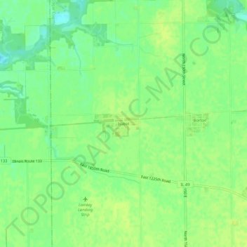
Name: Isabel topographic map, elevation, terrain.
Location: Isabel, Edgar County, Illinois, 61917, États-Unis d'Amérique (39.63531 -87.97003 39.67531 -87.93003)
Average elevation: 666 ft
Minimum elevation: 633 ft
Maximum elevation: 682 ft