
Gubadli topographic map
Interactive map
Click on the map to display elevation.
About this map
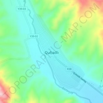
Name: Gubadli topographic map, elevation, terrain.
Location: Gubadli, Qubadli District, Kalbajar-Lachin, Azerbaijan (39.33396 46.57456 39.35365 46.59227)
Average elevation: 1,755 ft
Minimum elevation: 1,526 ft
Maximum elevation: 2,379 ft