
CARRAIPIA topographic map
Interactive map
Click on the map to display elevation.
About this map
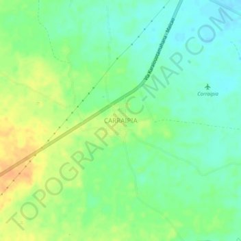
Name: CARRAIPIA topographic map, elevation, terrain.
Location: CARRAIPIA, Maicao, La Guajira, Colombia (11.23495 -72.39061 11.27495 -72.35061)
Average elevation: 354 ft
Minimum elevation: 305 ft
Maximum elevation: 420 ft