
Gharo topographic map
Interactive map
Click on the map to display elevation.
About this map
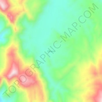
Name: Gharo topographic map, elevation, terrain.
Location: Gharo, Khuzdar District, Balochistan, Pakistan (27.38375 66.51799 27.42375 66.55799)
Average elevation: 4,925 ft
Minimum elevation: 4,295 ft
Maximum elevation: 5,915 ft