
Atholi topographic map
Interactive map
Click on the map to display elevation.
About this map
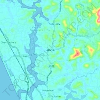
Name: Atholi topographic map, elevation, terrain.
Location: Atholi, Koyilandi, Kozhikode district, Kerala, 673315, India (11.34891 75.72004 11.42891 75.80004)
Average elevation: 66 ft
Minimum elevation: -13 ft
Maximum elevation: 591 ft