
Aš topographic map
Interactive map
Click on the map to display elevation.
About this map
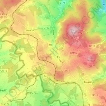
Name: Aš topographic map, elevation, terrain.
Location: Aš, Cheb District, Karlovarský kraj, Northwest, Czechia (50.19781 12.15656 50.24937 12.22318)
Average elevation: 2,119 ft
Minimum elevation: 1,713 ft
Maximum elevation: 2,484 ft