
Geras topographic map
Interactive map
Click on the map to display elevation.
About this map
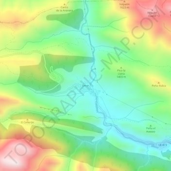
Name: Geras topographic map, elevation, terrain.
Location: Geras, La Pola de Gordón, León, Castilla y León, España (42.87513 -5.78854 42.91513 -5.74854)
Average elevation: 4,508 ft
Minimum elevation: 3,583 ft
Maximum elevation: 6,030 ft