
North End topographic map
Interactive map
Click on the map to display elevation.
About this map
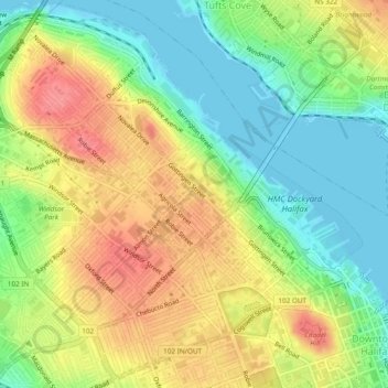
Name: North End topographic map, elevation, terrain.
Location: North End, Halifax, Nova Scotia, Canada (44.64323 -63.63262 44.67548 -63.58494)
Average elevation: 115 ft
Minimum elevation: -7 ft
Maximum elevation: 246 ft
At 60 m in elevation, Citadel Hill is the highest point on the peninsula and when combined with the expansive undeveloped parkland of the North Common, creates a physical boundary that separates the various neighbourhoods. Fort Needham is another glacial drumlin located in the heart of the North End.