
Battel topographic map
Interactive map
Click on the map to display elevation.
About this map
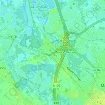
Name: Battel topographic map, elevation, terrain.
Location: Battel, Mechelen, Antwerpen, 2811, België (51.02074 4.42560 51.06074 4.46560)
Average elevation: 16 ft
Minimum elevation: -10 ft
Maximum elevation: 43 ft