
Ain Turk topographic map
Interactive map
Click on the map to display elevation.
About this map
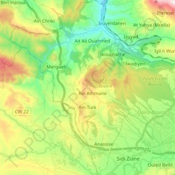
Name: Ain Turk topographic map, elevation, terrain.
Location: Ain Turk, Daïra Bouira, Bouira, Algérie (36.35307 3.76739 36.45682 3.86077)
Average elevation: 1,913 ft
Minimum elevation: 1,050 ft
Maximum elevation: 3,461 ft