
Hadersfeld topographic map
Interactive map
Click on the map to display elevation.
About this map
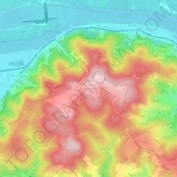
Name: Hadersfeld topographic map, elevation, terrain.
Location: Hadersfeld, Bezirk Tulln, Niederösterreich, 3421, Österreich (48.31694 16.23717 48.35694 16.27717)
Average elevation: 948 ft
Minimum elevation: 512 ft
Maximum elevation: 1,427 ft