
San Martino Alfieri topographic map
Interactive map
Click on the map to display elevation.
About this map
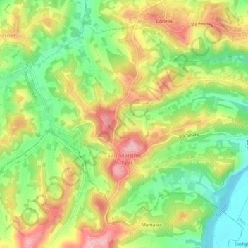
Name: San Martino Alfieri topographic map, elevation, terrain.
Location: San Martino Alfieri, Asti, Piedmont, Italy (44.80968 8.09147 44.83697 8.13843)
Average elevation: 643 ft
Minimum elevation: 394 ft
Maximum elevation: 912 ft
Other topographic maps
Click on a map to view its topography, its elevation and its terrain.