
Oiry topographic map
Interactive map
Click on the map to display elevation.
About this map
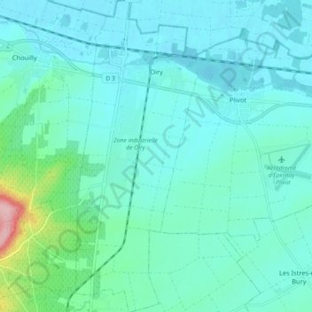
Name: Oiry topographic map, elevation, terrain.
Location: Oiry, Épernay, Marne, Grand Est, France, 51530, France (48.97812 4.02359 49.03678 4.05955)
Average elevation: 305 ft
Minimum elevation: 220 ft
Maximum elevation: 801 ft