
Mayhew topographic map
Interactive map
Click on the map to display elevation.
About this map
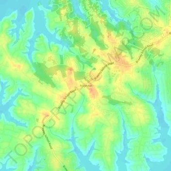
Name: Mayhew topographic map, elevation, terrain.
Location: Mayhew, Iredell County, North Carolina, 28117, USA (35.54375 -80.93257 35.58375 -80.89257)
Average elevation: 810 ft
Minimum elevation: 755 ft
Maximum elevation: 886 ft