
Las Quintas topographic map
Interactive map
Click on the map to display elevation.
About this map
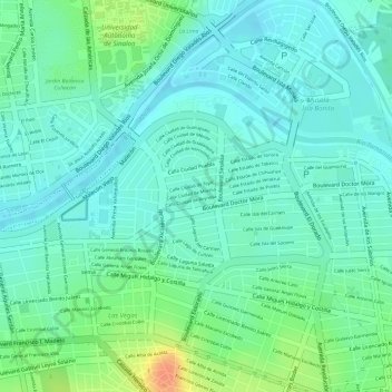
Name: Las Quintas topographic map, elevation, terrain.
Location: Las Quintas, Culiacán, Sinaloa, 80060, Mexique (24.80950 -107.38639 24.82066 -107.36536)
Average elevation: 157 ft
Minimum elevation: 112 ft
Maximum elevation: 266 ft