
Valley View topographic map
Interactive map
Click on the map to display elevation.
About this map
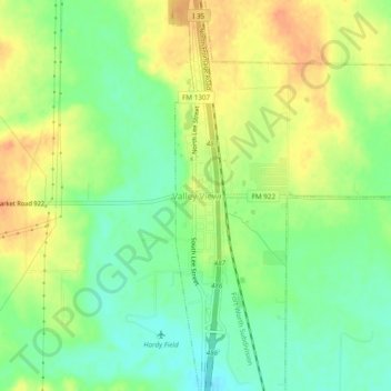
Name: Valley View topographic map, elevation, terrain.
Location: Valley View, Cooke County, Texas, USA (33.46817 -97.18501 33.50817 -97.14501)
Average elevation: 712 ft
Minimum elevation: 650 ft
Maximum elevation: 774 ft