
Kota topographic map
Interactive map
Click on the map to display elevation.
About this map
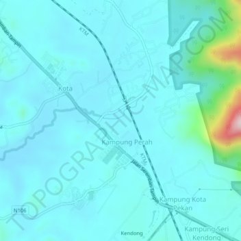
Name: Kota topographic map, elevation, terrain.
Location: Kota, Negeri Sembilan, Malaysia (2.49377 102.14775 2.53377 102.18775)
Average elevation: 184 ft
Minimum elevation: 52 ft
Maximum elevation: 1,211 ft