
Port Laudania topographic map
Interactive map
Click on the map to display elevation.
About this map
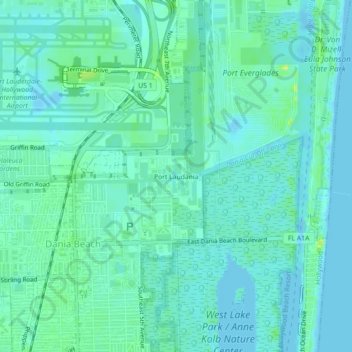
Name: Port Laudania topographic map, elevation, terrain.
Location: Port Laudania, Broward County, Florida, 33004, USA (26.04009 -80.15088 26.08009 -80.11088)
Average elevation: 16 ft
Minimum elevation: -13 ft
Maximum elevation: 62 ft