
Lenox Hill topographic map
Interactive map
Click on the map to display elevation.
About this map
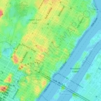
Name: Lenox Hill topographic map, elevation, terrain.
Average elevation: 69 ft
Minimum elevation: -20 ft
Maximum elevation: 213 ft
Other topographic maps
Click on a map to view its topography, its elevation and its terrain.
Barren Island
USA > New York > New York City
Barren Island, Kings County, New York City, New York, 11697, USA
Average elevation: 52 ft
Midtown East
USA > New York > New York City
Midtown East, Manhattan, Manhattan Community Board 5, New York County, New York City, New York, USA
Average elevation: 72 ft
Roosevelt Island
USA > New York > New York City
Roosevelt Island, Manhattan Community Board 8, New York County, New York City, New York, 10044, USA
Average elevation: 43 ft
Chinatown
USA > New York > New York City
Chinatown, Manhattan, Manhattan Community Board 2, New York County, New York City, New York, USA
Average elevation: 39 ft