
Vurra topographic map
Interactive map
Click on the map to display elevation.
About this map
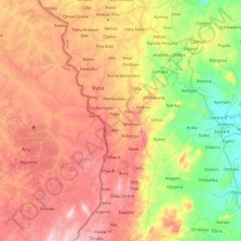
Name: Vurra topographic map, elevation, terrain.
Location: Vurra, Arua, Northern Region, Ouganda (2.78509 30.85337 2.97985 30.95103)
Average elevation: 4,075 ft
Minimum elevation: 3,140 ft
Maximum elevation: 4,918 ft