
Argente topographic map
Interactive map
Click on the map to display elevation.
About this map
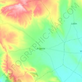
Name: Argente topographic map, elevation, terrain.
Location: Argente, Teruel, Aragón, España (40.65013 -1.23307 40.74453 -1.12720)
Average elevation: 4,190 ft
Minimum elevation: 3,865 ft
Maximum elevation: 4,810 ft