
Loralai topographic map
Interactive map
Click on the map to display elevation.
About this map
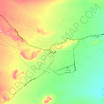
Name: Loralai topographic map, elevation, terrain.
Location: Loralai, Loralai District, Balochistan, 84800, Pakistan (30.32687 68.56007 30.40687 68.64007)
Average elevation: 4,701 ft
Minimum elevation: 4,528 ft
Maximum elevation: 4,918 ft