
Mormon Bar topographic map
Interactive map
Click on the map to display elevation.
About this map
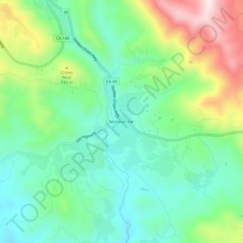
Name: Mormon Bar topographic map, elevation, terrain.
Location: Mormon Bar, Mariposa County, California, CA95338, USA (37.44216 -119.96795 37.48216 -119.92795)
Average elevation: 2,103 ft
Minimum elevation: 1,614 ft
Maximum elevation: 3,136 ft