
Keerbergen topographic map
Interactive map
Click on the map to display elevation.
About this map
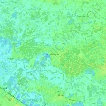
Name: Keerbergen topographic map, elevation, terrain.
Location: Keerbergen, Louvain, Brabant flamand, Flandre, 3140, Belgique (50.98535 4.59854 51.02403 4.70949)
Average elevation: 26 ft
Minimum elevation: 10 ft
Maximum elevation: 49 ft