
Zevekote topographic map
Interactive map
Click on the map to display elevation.
About this map
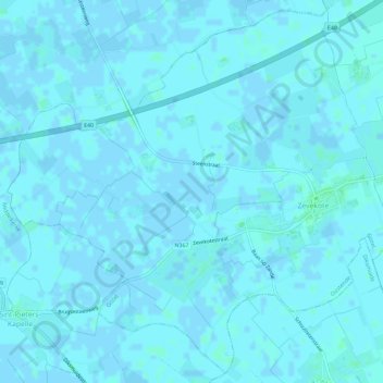
Name: Zevekote topographic map, elevation, terrain.
Average elevation: 3 ft
Minimum elevation: -7 ft
Maximum elevation: 16 ft
Other topographic maps
Click on a map to view its topography, its elevation and its terrain.
Snaaskerke
België > Vlaanderen > Gistel
Snaaskerke, Gistel, Oostende, West-Vlaanderen, Vlaanderen, België
Average elevation: 7 ft