
Mawphlang topographic map
Interactive map
Click on the map to display elevation.
About this map
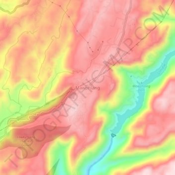
Name: Mawphlang topographic map, elevation, terrain.
Location: Mawphlang, East Khasi Hills, Meghalaya, 793003, India (25.43467 91.73882 25.47467 91.77882)
Average elevation: 5,774 ft
Minimum elevation: 5,059 ft
Maximum elevation: 6,161 ft