
St. Cloud topographic map
Interactive map
Click on the map to display elevation.
About this map
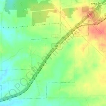
Name: St. Cloud topographic map, elevation, terrain.
Location: St. Cloud, Crawford County, Missouri, United States (38.16306 -91.22981 38.18665 -91.19923)
Average elevation: 961 ft
Minimum elevation: 873 ft
Maximum elevation: 1,066 ft