
Itakyry topographic map
Interactive map
Click on the map to display elevation.
About this map
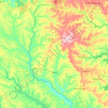
Name: Itakyry topographic map, elevation, terrain.
Location: Itakyry, Alto Paraná, Región Oriental, Paraguay (-25.22793 -55.34995 -24.48549 -54.94962)
Average elevation: 919 ft
Minimum elevation: 630 ft
Maximum elevation: 1,506 ft