
Salazar topographic map
Interactive map
Click on the map to display elevation.
About this map
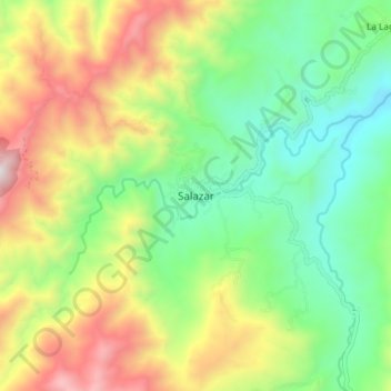
Name: Salazar topographic map, elevation, terrain.
Location: Salazar, Norte de Santander, Colombia (7.73297 -72.85207 7.81297 -72.77207)
Average elevation: 3,757 ft
Minimum elevation: 2,090 ft
Maximum elevation: 6,450 ft