
Rafsanjan topographic map
Interactive map
Click on the map to display elevation.
About this map
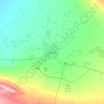
Name: Rafsanjan topographic map, elevation, terrain.
Location: Rafsanjan, بخش مرکزی, Rafsanjan County, Kerman Province, Iran (30.24218 55.83418 30.56218 56.15418)
Average elevation: 5,161 ft
Minimum elevation: 4,698 ft
Maximum elevation: 6,709 ft