
Getsvedjeberget topographic map
Interactive map
Click on the map to display elevation.
About this map
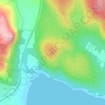
Name: Getsvedjeberget topographic map, elevation, terrain.
Average elevation: 302 ft
Minimum elevation: -3 ft
Maximum elevation: 932 ft
Other topographic maps
Click on a map to view its topography, its elevation and its terrain.
Värns
Sweden > Västernorrland County > Vibyggerå District > Värns
Värns, Vibyggerå District, Kramfors kommun, Västernorrland County, Region Norrland, Sweden
Average elevation: 102 ft