
岩手町 topographic map
Interactive map
Click on the map to display elevation.
About this map
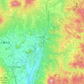
Name: 岩手町 topographic map, elevation, terrain.
Location: 岩手町, 岩手郡, Préfecture d'Iwate, Japon (39.83410 141.12262 40.08070 141.43423)
Average elevation: 1,483 ft
Minimum elevation: 591 ft
Maximum elevation: 3,599 ft