Gallatin Gateway topographic map
Interactive map
Click on the map to display elevation.
About this map
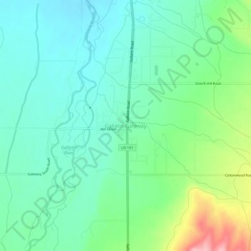
Name: Gallatin Gateway topographic map, elevation, terrain.
Average elevation: 4,984 ft
Minimum elevation: 4,852 ft
Maximum elevation: 5,338 ft

Click on the map to display elevation.
Name: Gallatin Gateway topographic map, elevation, terrain.
Average elevation: 4,984 ft
Minimum elevation: 4,852 ft
Maximum elevation: 5,338 ft