
Arquipélago das Berlengas topographic map
Interactive map
Click on the map to display elevation.
About this map
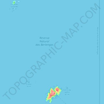
Name: Arquipélago das Berlengas topographic map, elevation, terrain.
Location: Arquipélago das Berlengas, Peniche, Leiria, Centro, Portugal (39.40790 -9.54981 39.48024 -9.49692)
Average elevation: 3 ft
Minimum elevation: 0 ft
Maximum elevation: 302 ft
Other topographic maps
Click on a map to view its topography, its elevation and its terrain.