
Geesteren topographic map
Interactive map
Click on the map to display elevation.
About this map
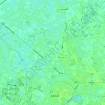
Name: Geesteren topographic map, elevation, terrain.
Location: Geesteren, Berkelland, Geldern, Niederlande (52.11461 6.46137 52.16943 6.56849)
Average elevation: 52 ft
Minimum elevation: 36 ft
Maximum elevation: 69 ft