
Mitte topographic map
Interactive map
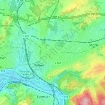
Click on the map to display elevation.
About this map
Name: Mitte topographic map, elevation, terrain.
Average elevation: 407 ft
Minimum elevation: 243 ft
Maximum elevation: 804 ft
Other topographic maps
Click on a map to view its topography, its elevation and its terrain.
Arenberg
Allemagne > Rhénanie-du-Nord-Westphalie > Witten
Arenberg, Witten, Ennepe-Ruhr-Kreis, Regierungsbezirk Arnsberg, Rhénanie-du-Nord-Westphalie, 58453, Allemagne
Average elevation: 636 ft